
Rosewell topographic map
Interactive map
Click on the map to display elevation.
About this map
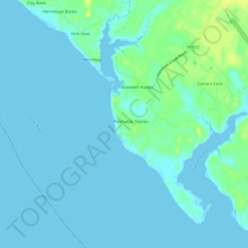
Name: Rosewell topographic map, elevation, terrain.
Location: Rosewell, Gloucester County, Virginia, United States (37.31098 -76.60940 37.35098 -76.56940)
Average elevation: 4 m
Minimum elevation: -3 m
Maximum elevation: 18 m