
堺市 topographic map
Interactive map
Click on the map to display elevation.
About this map
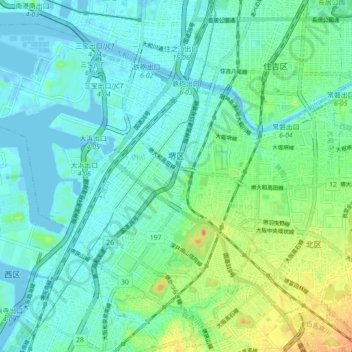
Name: 堺市 topographic map, elevation, terrain.
Location: 堺区, 堺市, Prefectura de Osaka, 近畿地方, Japón (34.54540 135.41419 34.60833 135.50248)
Average elevation: 11 m
Minimum elevation: -17 m
Maximum elevation: 43 m