
Seaton topographic map
Interactive map
Click on the map to display elevation.
About this map
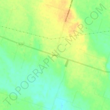
Name: Seaton topographic map, elevation, terrain.
Location: Seaton, Bell County, Texas, États-Unis d'Amérique (31.03768 -97.23611 31.07768 -97.19611)
Average elevation: 150 m
Minimum elevation: 135 m
Maximum elevation: 163 m