
Hannaford topographic map
Interactive map
Click on the map to display elevation.
About this map
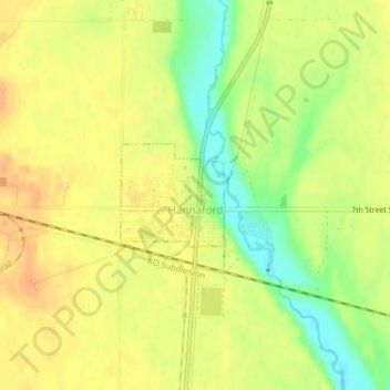
Name: Hannaford topographic map, elevation, terrain.
Location: Hannaford, Griggs County, North Dakota, United States (47.31074 -98.19415 47.31789 -98.18344)
Average elevation: 432 m
Minimum elevation: 410 m
Maximum elevation: 443 m