
Wadata topographic map
Interactive map
Click on the map to display elevation.
About this map
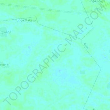
Name: Wadata topographic map, elevation, terrain.
Location: Wadata, Koko-Besse, Kebbi, Nigéria (11.22756 4.34458 11.26756 4.38458)
Average elevation: 150 m
Minimum elevation: 147 m
Maximum elevation: 153 m