
Al Harrah topographic map
Interactive map
Click on the map to display elevation.
About this map
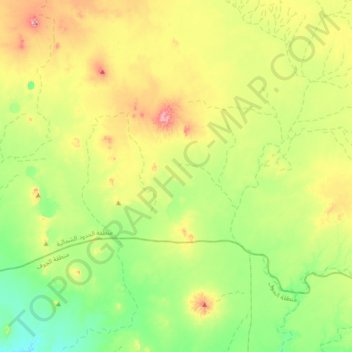
Name: Al Harrah topographic map, elevation, terrain.
Location: Al Harrah, Nördliche Grenzregion, Saudi-Arabien (30.84000 38.50667 31.16000 38.82667)
Average elevation: 758 m
Minimum elevation: 641 m
Maximum elevation: 975 m