
Lyndonville topographic map
Interactive map
Click on the map to display elevation.
About this map
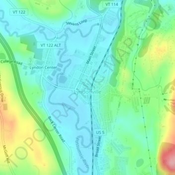
Name: Lyndonville topographic map, elevation, terrain.
Location: Lyndonville, Lyndon, Caledonia County, Vermont, USA (44.52461 -72.01141 44.54402 -71.99397)
Average elevation: 243 m
Minimum elevation: 206 m
Maximum elevation: 343 m