
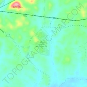
Hutan Percha topographic map
Interactive map
Click on the map to display elevation.
About this map
Name: Hutan Percha topographic map, elevation, terrain.
Location: Hutan Percha, Alor Gajah, Malacca, Malaysia (2.42333 102.28051 2.46333 102.32051)
Average elevation: 61 m
Minimum elevation: 31 m
Maximum elevation: 156 m