
Kópasker topographic map
Interactive map
Click on the map to display elevation.
About this map
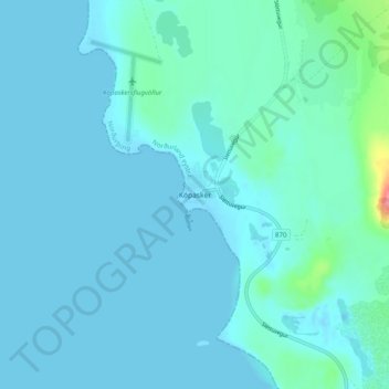
Name: Kópasker topographic map, elevation, terrain.
Location: Kópasker, Norðurþing, Northeastern Region, 670, Iceland (66.28095 -16.46661 66.32095 -16.42661)
Average elevation: 9 m
Minimum elevation: -7 m
Maximum elevation: 94 m