
Scholes topographic map
Interactive map
Click on the map to display elevation.
About this map
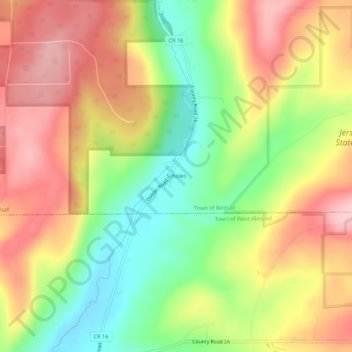
Name: Scholes topographic map, elevation, terrain.
Location: Scholes, Allegany County, New York, United States (42.33201 -77.94056 42.37201 -77.90056)
Average elevation: 577 m
Minimum elevation: 478 m
Maximum elevation: 670 m