
Batang Ai Dam topographic map
Interactive map
Click on the map to display elevation.
About this map
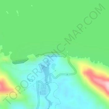
Name: Batang Ai Dam topographic map, elevation, terrain.
Location: Batang Ai Dam, Sri Aman, Sarawak, Malaysia (1.14810 111.87134 1.14950 111.87898)
Average elevation: 106 m
Minimum elevation: 32 m
Maximum elevation: 261 m