
Mugeo-dong topographic map
Interactive map
Click on the map to display elevation.
About this map
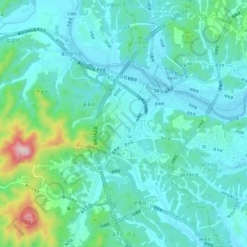
Name: Mugeo-dong topographic map, elevation, terrain.
Location: Mugeo-dong, Nam-gu, Ulsan, 680749, South Korea (35.50308 129.21491 35.58308 129.29491)
Average elevation: 94 m
Minimum elevation: 0 m
Maximum elevation: 579 m