
Gevaş topographic map
Interactive map
Click on the map to display elevation.
About this map
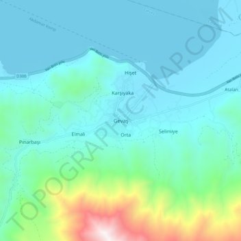
Name: Gevaş topographic map, elevation, terrain.
Location: Gevaş, Van, Eastern Anatolia Region, Turkey (38.25529 43.06827 38.33529 43.14827)
Average elevation: 1,930 m
Minimum elevation: 1,642 m
Maximum elevation: 3,306 m