
Gölköy topographic map
Interactive map
Click on the map to display elevation.
About this map
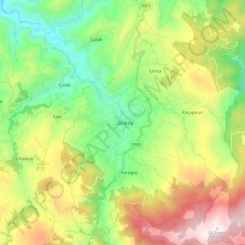
Name: Gölköy topographic map, elevation, terrain.
Location: Gölköy, Ordu, Black Sea Region, Turkey (40.64737 37.57452 40.72737 37.65452)
Average elevation: 1,080 m
Minimum elevation: 614 m
Maximum elevation: 1,736 m