
Lerik District topographic map
Interactive map
Click on the map to display elevation.
About this map
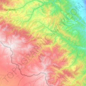
Name: Lerik District topographic map, elevation, terrain.
Location: Lerik District, Azerbaijan (38.55158 48.24247 38.95165 48.68327)
Average elevation: 1,135 m
Minimum elevation: -18 m
Maximum elevation: 2,491 m
Other topographic maps
Click on a map to view its topography, its elevation and its terrain.