
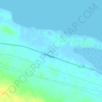
Sultan topographic map
Interactive map
Click on the map to display elevation.
About this map
Name: Sultan topographic map, elevation, terrain.
Location: Sultan, Sirte, Libya (31.09445 17.13018 31.13445 17.17018)
Average elevation: 3 m
Minimum elevation: -6 m
Maximum elevation: 23 m