
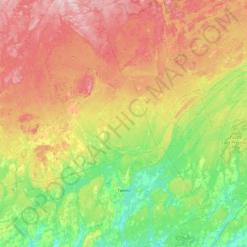
Tweed topographic map
Interactive map
Click on the map to display elevation.
About this map
Name: Tweed topographic map, elevation, terrain.
Location: Tweed, Hastings County, Ontario, Canada (44.34936 -77.56817 44.89950 -77.05544)
Average elevation: 230 m
Minimum elevation: 126 m
Maximum elevation: 388 m