
Haubstadt topographic map
Interactive map
Click on the map to display elevation.
About this map
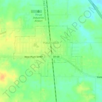
Name: Haubstadt topographic map, elevation, terrain.
Location: Haubstadt, Gibson County, Indiana, USA (38.19611 -87.58694 38.20947 -87.56376)
Average elevation: 141 m
Minimum elevation: 127 m
Maximum elevation: 157 m