
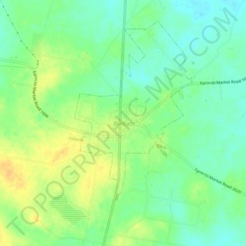
Bedias topographic map
Interactive map
Click on the map to display elevation.
About this map
Name: Bedias topographic map, elevation, terrain.
Location: Bedias, Grimes County, Texas, 77831, USA (30.75575 -95.96940 30.79575 -95.92940)
Average elevation: 98 m
Minimum elevation: 85 m
Maximum elevation: 114 m