
Sand Ridge topographic map
Interactive map
Click on the map to display elevation.
About this map
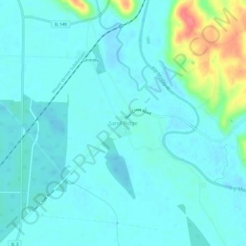
Name: Sand Ridge topographic map, elevation, terrain.
Location: Sand Ridge, Jackson County, Illinois, 62940, USA (37.72005 -89.46259 37.76005 -89.42259)
Average elevation: 115 m
Minimum elevation: 103 m
Maximum elevation: 174 m