
Richland Trace Subdivision topographic map
Interactive map
Click on the map to display elevation.
About this map
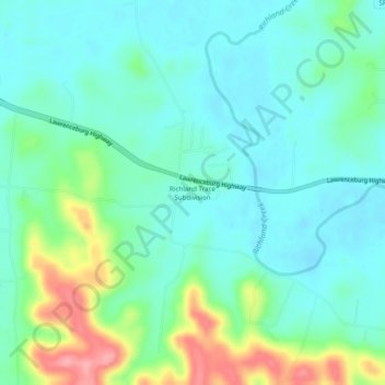
Name: Richland Trace Subdivision topographic map, elevation, terrain.
Location: Richland Trace Subdivision, Giles County, Tennessee, USA (35.19036 -87.12834 35.23036 -87.08834)
Average elevation: 224 m
Minimum elevation: 196 m
Maximum elevation: 305 m