
Pilton topographic map
Interactive map
Click on the map to display elevation.
About this map
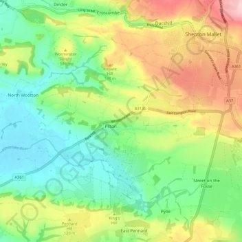
Name: Pilton topographic map, elevation, terrain.
Location: Pilton, Mendip, Somerset, England, United Kingdom (51.14234 -2.64109 51.19201 -2.53578)
Average elevation: 90 m
Minimum elevation: 7 m
Maximum elevation: 225 m