
Manggahan topographic map
Interactive map
Click on the map to display elevation.
About this map
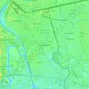
Name: Manggahan topographic map, elevation, terrain.
Location: Manggahan, Pasig, Metro Manila, 1611, Philippines (14.58417 121.07922 14.62417 121.11922)
Average elevation: 11 m
Minimum elevation: 2 m
Maximum elevation: 20 m