
Berg en Dal topographic map
Interactive map
Click on the map to display elevation.
About this map
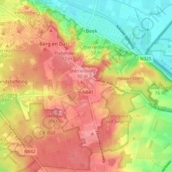
Name: Berg en Dal topographic map, elevation, terrain.
Location: Berg en Dal, Gelderland, Netherlands (51.79975 5.89234 51.83231 5.95714)
Average elevation: 56 m
Minimum elevation: 6 m
Maximum elevation: 95 m