
Вардиште topographic map
Interactive map
Click on the map to display elevation.
About this map
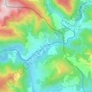
Name: Вардиште topographic map, elevation, terrain.
Location: Вардиште, Visegrad municipality, Republika Srpska, 73249, B&H (43.73930 19.43527 43.77930 19.47527)
Average elevation: 621 m
Minimum elevation: 417 m
Maximum elevation: 1,038 m