
Ottensheim topographic map
Interactive map
Click on the map to display elevation.
About this map
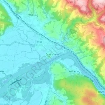
Name: Ottensheim topographic map, elevation, terrain.
Location: Ottensheim, Urfahr-Umgebung, Upper Austria, 4100, Austria (48.31518 14.14470 48.35021 14.22280)
Average elevation: 318 m
Minimum elevation: 250 m
Maximum elevation: 552 m