
Kingsley topographic map
Interactive map
Click on the map to display elevation.
About this map
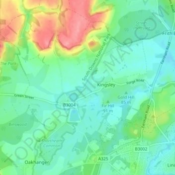
Name: Kingsley topographic map, elevation, terrain.
Location: Kingsley, East Hampshire, Hampshire, England, United Kingdom (51.12455 -0.90415 51.15165 -0.83307)
Average elevation: 88 m
Minimum elevation: 64 m
Maximum elevation: 147 m