
Hamerenne topographic map
Interactive map
Click on the map to display elevation.
About this map
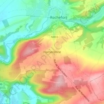
Name: Hamerenne topographic map, elevation, terrain.
Location: Hamerenne, Rochefort, Dinant, Namur, Wallonie, 5580, Belgique (50.12555 5.19949 50.16555 5.23949)
Average elevation: 228 m
Minimum elevation: 154 m
Maximum elevation: 318 m