
Westwego topographic map
Interactive map
Click on the map to display elevation.
About this map
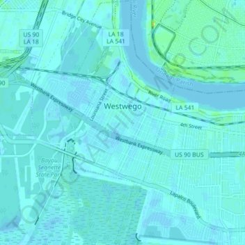
Name: Westwego topographic map, elevation, terrain.
Location: Westwego, Jefferson Parish, Louisiana, USA (29.87128 -90.15844 29.93233 -90.12729)
Average elevation: 2 m
Minimum elevation: -2 m
Maximum elevation: 19 m