
Mendota topographic map
Interactive map
Click on the map to display elevation.
About this map
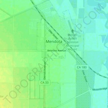
Name: Mendota topographic map, elevation, terrain.
Location: Mendota, Fresno County, California, United States (36.72300 -120.39233 36.77256 -120.36465)
Average elevation: 52 m
Minimum elevation: 45 m
Maximum elevation: 60 m
Mendota is a U.S. city in Fresno County, California. The population was 11,014 at the 2010 U.S. Census. CA State Routes 180 and 33 run through the agricultural city. Mendota is located 8.5 miles (14 km) south-southeast of Firebaugh, at an elevation of 174 feet (53 m).