
McQuady topographic map
Interactive map
Click on the map to display elevation.
About this map
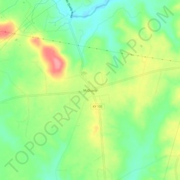
Name: McQuady topographic map, elevation, terrain.
Location: McQuady, Breckinridge County, Kentucky, United States (37.68839 -86.53887 37.72839 -86.49887)
Average elevation: 197 m
Minimum elevation: 158 m
Maximum elevation: 252 m
Other topographic maps
Click on a map to view its topography, its elevation and its terrain.
Big Spring
United States > Kentucky > Breckinridge County
Big Spring, Breckinridge County, Kentucky, United States
Average elevation: 230 m
Falls of Rough
United States > Kentucky > Breckinridge County
Falls of Rough, Breckinridge County, Kentucky, United States
Average elevation: 159 m
Cloverport
United States > Kentucky > Breckinridge County
Cloverport, Breckinridge County, Kentucky, 40111, United States
Average elevation: 134 m