
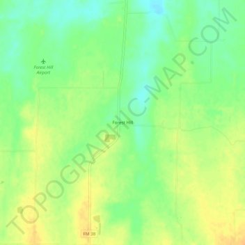
Forest Hill topographic map
Interactive map
Click on the map to display elevation.
About this map
Name: Forest Hill topographic map, elevation, terrain.
Location: Forest Hill, Lamar County, Texas, USA (33.63121 -95.83802 33.67121 -95.79802)
Average elevation: 179 m
Minimum elevation: 163 m
Maximum elevation: 193 m