
Cayenne topographic map
Interactive map
Click on the map to display elevation.
About this map
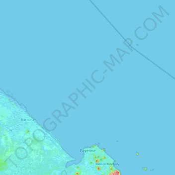
Name: Cayenne topographic map, elevation, terrain.
Location: Cayenne, French Guiana, 97300, France (4.88690 -52.34021 4.96135 -52.16250)
Average elevation: 8 m
Minimum elevation: -3 m
Maximum elevation: 229 m
Other topographic maps
Click on a map to view its topography, its elevation and its terrain.
Devil's Island
France > French Guiana > Cayenne
Devil's Island, Cayenne, Arrondissement de Cayenne, French Guiana, 97300, France
Average elevation: 1 m