
Armadale topographic map
Interactive map
Click on the map to display elevation.
About this map
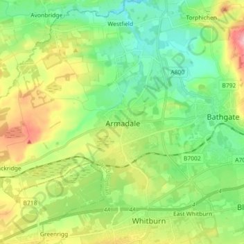
Name: Armadale topographic map, elevation, terrain.
Location: Armadale, West Lothian, Scotland, EH48 3ER, United Kingdom (55.85919 -3.74068 55.93919 -3.66068)
Average elevation: 166 m
Minimum elevation: 101 m
Maximum elevation: 291 m