
Sispony topographic map
Interactive map
Click on the map to display elevation.
About this map
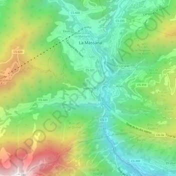
Name: Sispony topographic map, elevation, terrain.
Location: Sispony, La Massana, AD400, Andorra (42.51387 1.49563 42.55387 1.53563)
Average elevation: 1,512 m
Minimum elevation: 1,068 m
Maximum elevation: 2,311 m