
Santong topographic map
Interactive map
Click on the map to display elevation.
About this map
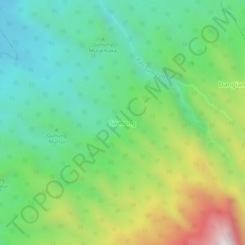
Name: Santong topographic map, elevation, terrain.
Location: Santong, Lombok Barat, West Nusa Tenggara, Indonesia (-8.38467 116.28975 -8.34467 116.32975)
Average elevation: 877 m
Minimum elevation: 521 m
Maximum elevation: 1,605 m