
Plymouth topographic map
Interactive map
Click on the map to display elevation.
About this map
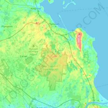
Name: Plymouth topographic map, elevation, terrain.
Location: Plymouth, Plymouth County, Massachusetts, United States (41.76291 -70.75353 42.01396 -70.45605)
Average elevation: 18 m
Minimum elevation: -1 m
Maximum elevation: 115 m