
Dir topographic map
Interactive map
Click on the map to display elevation.
About this map
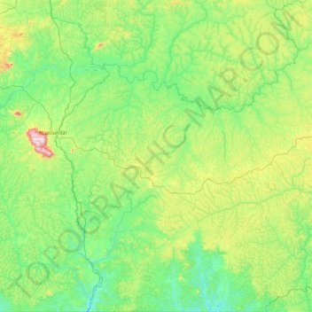
Name: Dir topographic map, elevation, terrain.
Location: Dir, Mbéré, Adamawa, Cameroon (6.00107 13.28670 6.80890 14.07060)
Average elevation: 914 m
Minimum elevation: 774 m
Maximum elevation: 1,388 m