
Bertrand topographic map
Interactive map
Click on the map to display elevation.
About this map
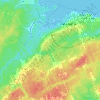
Name: Bertrand topographic map, elevation, terrain.
Average elevation: 22 m
Minimum elevation: -4 m
Maximum elevation: 57 m
Other topographic maps
Click on a map to view its topography, its elevation and its terrain.
Caraquet
Canada > New Brunswick > Caraquet Parish
Caraquet, Caraquet Parish, Gloucester County, New Brunswick, Canada
Average elevation: 15 m