
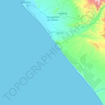
San Vicente de Cañete topographic map
Interactive map
Click on the map to display elevation.
About this map
Name: San Vicente de Cañete topographic map, elevation, terrain.
Average elevation: 85 m
Minimum elevation: 0 m
Maximum elevation: 1,112 m
Other topographic maps
Click on a map to view its topography, its elevation and its terrain.
San Vicente de Cañete
Peru > Lima > San Vicente de Cañete
San Vicente de Cañete, Cañete, Lima, Peru
Average elevation: 47 m