
Mugeba topographic map
Interactive map
Click on the map to display elevation.
About this map
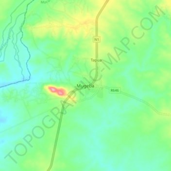
Name: Mugeba topographic map, elevation, terrain.
Location: Mugeba, Mocuba, Zambézia, Mozambique (-16.58439 37.13453 -16.50439 37.21453)
Average elevation: 203 m
Minimum elevation: 162 m
Maximum elevation: 306 m