
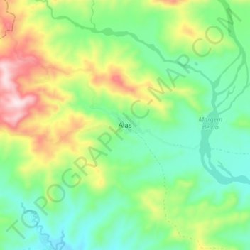
Alas topographic map
Interactive map
Click on the map to display elevation.
About this map
Name: Alas topographic map, elevation, terrain.
Location: Alas, Manufahi, East Timor (-9.06025 125.74933 -8.98025 125.82933)
Average elevation: 271 m
Minimum elevation: 100 m
Maximum elevation: 605 m