
La Vega topographic map
Interactive map
Click on the map to display elevation.
About this map
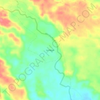
Name: La Vega topographic map, elevation, terrain.
Location: La Vega, Piamonte, Cauca, Colombia (1.07103 -76.32636 1.11103 -76.28636)
Average elevation: 288 m
Minimum elevation: 255 m
Maximum elevation: 323 m