
Eddyville topographic map
Interactive map
Click on the map to display elevation.
About this map
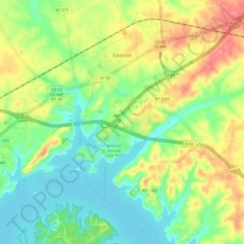
Name: Eddyville topographic map, elevation, terrain.
Location: Eddyville, Lyon County, Kentucky, USA (37.03577 -88.11936 37.10878 -88.01790)
Average elevation: 138 m
Minimum elevation: 106 m
Maximum elevation: 185 m