
Bastrop topographic map
Interactive map
Click on the map to display elevation.
About this map
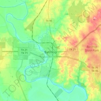
Name: Bastrop topographic map, elevation, terrain.
Location: Bastrop, Bastrop County, Texas, 78602, États-Unis d'Amérique (30.08838 -97.41215 30.13773 -97.27760)
Average elevation: 130 m
Minimum elevation: 90 m
Maximum elevation: 200 m