
Namwon-si topographic map
Interactive map
Click on the map to display elevation.
About this map
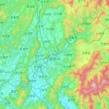
Name: Namwon-si topographic map, elevation, terrain.
Location: Namwon-si, Jeonbuk, South Korea (35.30328 127.18400 35.55904 127.67324)
Average elevation: 369 m
Minimum elevation: 34 m
Maximum elevation: 1,707 m
Other topographic maps
Click on a map to view its topography, its elevation and its terrain.