
Gonzales topographic map
Interactive map
Click on the map to display elevation.
About this map
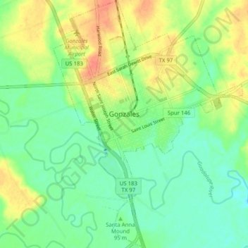
Name: Gonzales topographic map, elevation, terrain.
Location: Gonzales, Gonzales County, Texas, 78269, United States (29.47030 -97.47187 29.53786 -97.41239)
Average elevation: 92 m
Minimum elevation: 74 m
Maximum elevation: 119 m