
Port Hadlock-Irondale topographic map
Interactive map
Click on the map to display elevation.
About this map
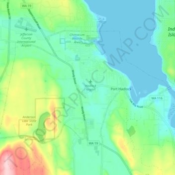
Name: Port Hadlock-Irondale topographic map, elevation, terrain.
Location: Port Hadlock-Irondale, Jefferson County, Washington, USA (48.01121 -122.82772 48.05308 -122.73183)
Average elevation: 55 m
Minimum elevation: -3 m
Maximum elevation: 211 m