
River Bride topographic map
Interactive map
Click on the map to display elevation.
About this map
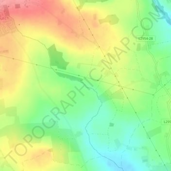
Name: River Bride topographic map, elevation, terrain.
Location: River Bride, Cobh, County Cork, Munster, T23 PY53, Ireland (51.96989 -8.49331 51.97157 -8.48862)
Average elevation: 135 m
Minimum elevation: 90 m
Maximum elevation: 187 m