
La Bourbansais topographic map
Interactive map
Click on the map to display elevation.
About this map
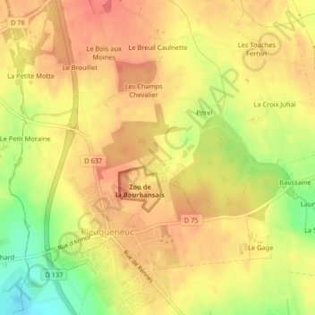
Name: La Bourbansais topographic map, elevation, terrain.
Average elevation: 61 m
Minimum elevation: 21 m
Maximum elevation: 82 m
Other topographic maps
Click on a map to view its topography, its elevation and its terrain.
La Revelinais
France > Bretagne > Pleugueneuc > La Revelinais
La Revelinais, Pleugueneuc, Saint-Malo, Ille-et-Vilaine, Bretagne, France métropolitaine, 35720, France
Average elevation: 64 m